Airport Display
by marimo team
Use openstreetmaps and openlayers to show all the airports out there.
About this notebook
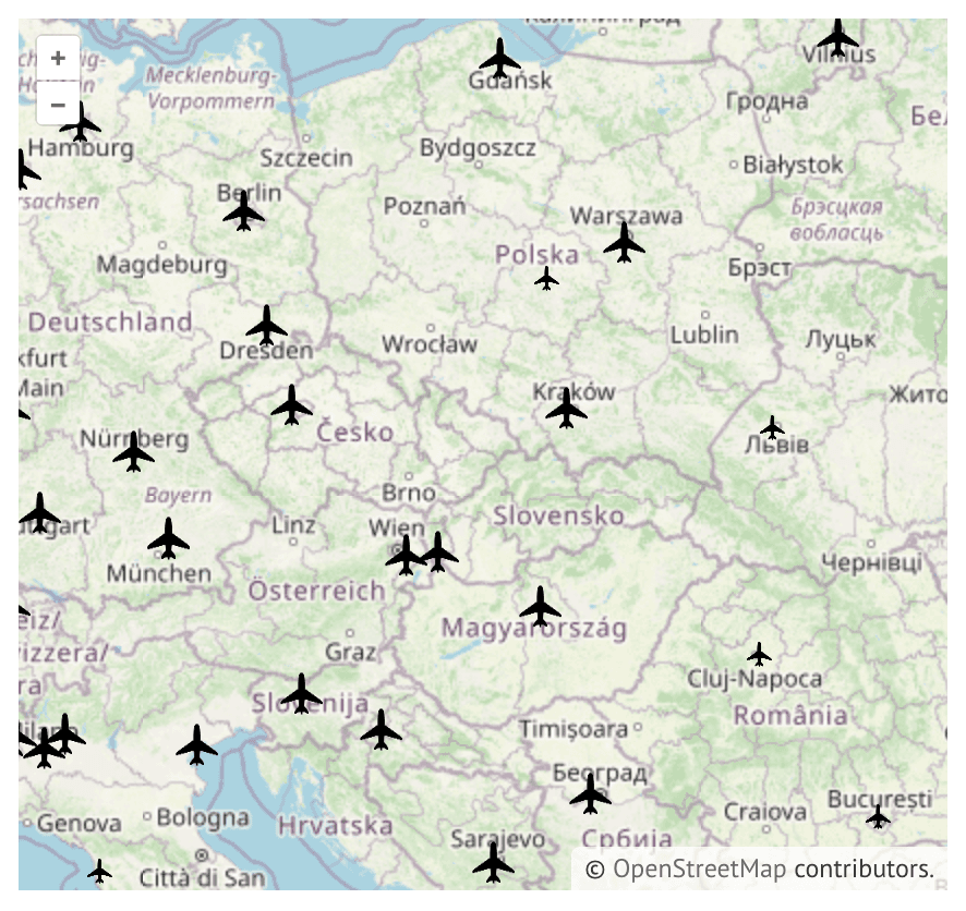
This notebook shows airports of the world on an interactive map. It uses the openlayers widget library together with marimo. The data comes from the Natural Earth ne_10m_airports GeoJSON file, which the notebook loads from a public CDN. Each airport appears as a plane icon on a basemap.
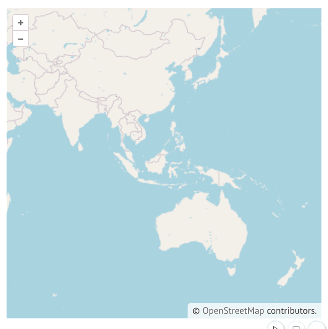
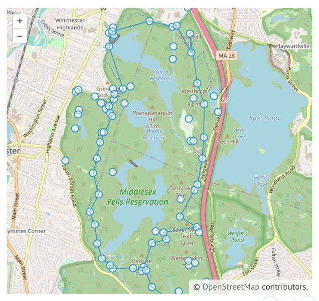
The map is a live OpenLayers widget. You can pan and zoom, and the view starts over central Europe at zoom level 5. The notebook also attaches a tooltip to the widget, so a tooltip appears when the pointer rests on an airport.
The icon style is an OpenLayers flat style with a match expression. The expression reads each airport's type property and sets the icon scale, so major airports show a larger icon than the others. The vector layer receives the GeoJSON URL directly, so the map fetches the data itself and no Python code parses it.